Create or improve a website in the Centre-Val de Loire region
Française du Numérique Remotely accompanies companies, shops, freelancers, associations and organizations in the Centre-Val de Loire region to make their site clearer, more useful, better organized for local research and more easy to live with.
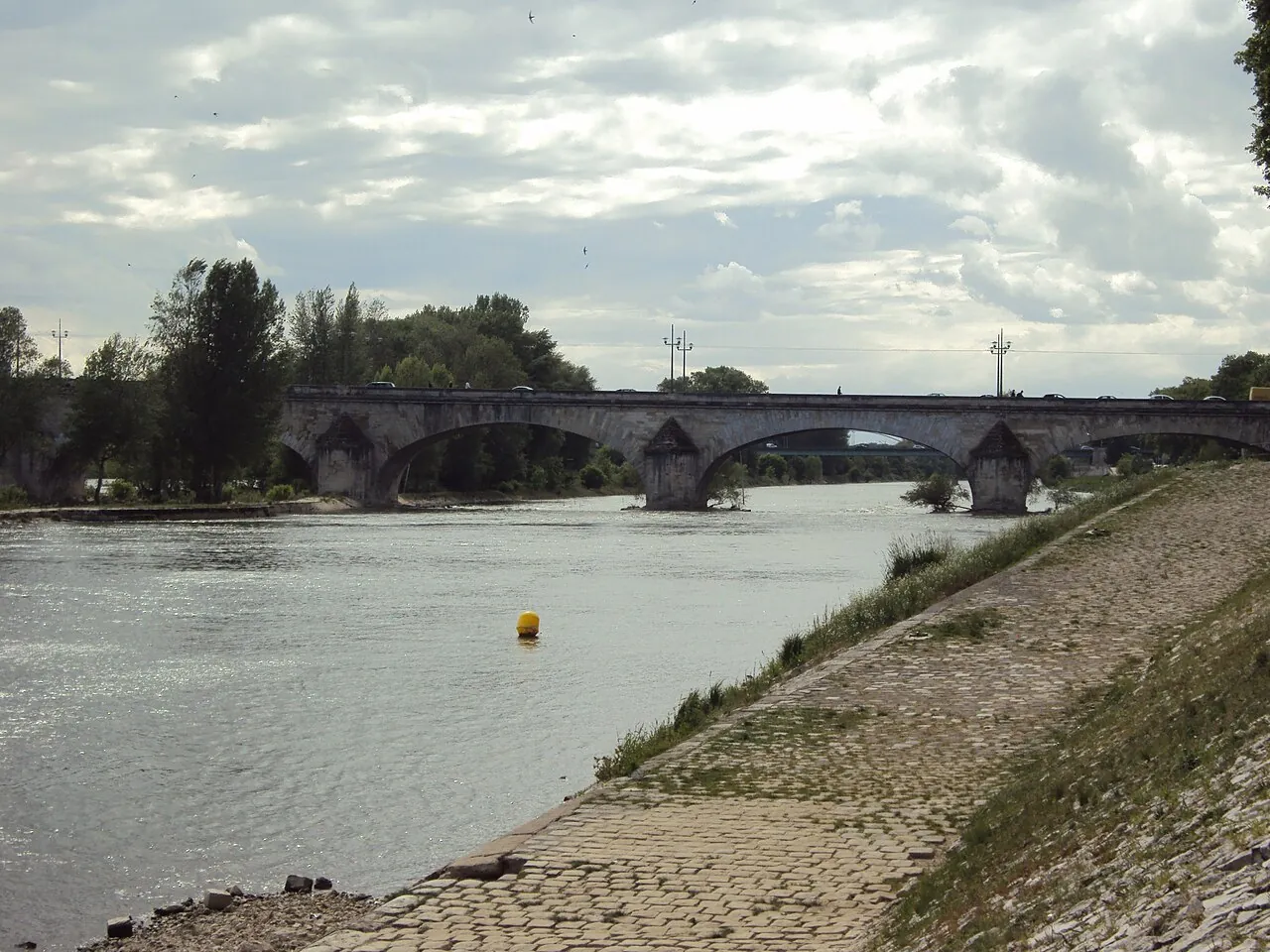
Orléans · Loire River and George V BridgePhoto : Adam Bishop · CC BY-SA 4.0Resized and converted to WebP; display cropping may apply.
Landmarks and real perimeter
Locate a web project in the Centre-Val de Loire region without inventing a local presence.
The reference data used by this site associates Centre-Val de Loire with region code 24 and lists Orléans as its administrative centre. The 6 departments linked to this region are detailed below. These facts organise navigation; they do not mean that every company operates throughout the region.
For a territorial page to really help a visitor, specify the municipalities or sectors actually served, the methods of travel or remote work, the delays which vary according to the zone and the right means of contact. Add a local example only if it corresponds to a verifiable activity or experience. The local presence guide Helps to distinguish between area served and simple keyword association.
The names, codes and administrative attachments follow the Official Geographical Code on January 1, 2026 of INSEE. Postal codes and population thresholds come from theAdministrative cutting public API, accessed October 1, 2026. The number of municipalities is distinct from the number of postal codes: a code can serve several municipalities. The “cities” of these landmarks designate the municipalities of 4,000 or more inhabitants according to this API; This is not an administrative definition of the city. Since the population vintage was not provided by this API response, no population is presented as a 2026 figure.
Local support
Help for your projects in the Centre-Val de Loire region
Our headquarters are in Paris, but support can be done everywhere in France. The exchanges, validations and follow-ups are carried out remotely with clear steps, easy to find decisions and a simple objective: to make your activity understandable by people who are looking for a solution near their home.
To prepare your intervention areas, distinguish the name of the municipality, its INSEE code and its postal codes. These examples are used to frame the territory; They do not report any location of our agency.
Catalogue examples: up to two communes per department, using population from the API consulted on 1 October 2026.
Municipal population on 1 January 2023, published on 29 December 2025 and effective from 1 January 2026. The statistical boundaries are those of 1 January 2025; this website’s commune catalogue uses COG 2026.
Municipal population 2023 · Centre-Val de Loire
Area
Insee code
Municipal population 2023
Share of regional population
Loiret
45
691 268
26.7 %
Indre-et-Loire
37
619 362
23.9 %
Eure-et-Loir
28
433 129
16.7 %
Loir-et-Cher
41
328 543
12.7 %
Cher
18
298 660
11.5 %
Indre
36
216 069
8.4 %
Municipal population counts people whose usual residence is within the area. It is neither a customer count nor a forecast of enquiries. Shares use official populations from the same reference year and are rounded to one decimal place.
How population is distributed among communes
Number of communes: 1 754. Median population per commune: 527 residents. Most populous commune: Tours, with 139 259 residents, or 5.4% of the total examined.
Municipal population 2023 · Centre-Val de Loire
Residents per commune
Communes
Residents
Share of residents
Under 1,000
1 236
503 474
19.5 %
1,000–9,999
483
1 158 712
44.8 %
10,000–99,999
33
669 229
25.9 %
100,000 or more
2
255 616
9.9 %
These four bands are descriptive groups calculated across every commune in this area, not an Insee urban–rural classification. The share of communes and the share of residents answer different questions.
Insee · Insee commune file: population at 1 January 2023, boundaries at 1 January 2025, effective from 1 January 2026. Matched by commune code; consulted 22 October 2026.
In the Official Geographical Code dated 1 January 2026, Centre-Val de Loire has 20 administrative arrondissements covering 1 754 communes. The table gives their codes, administrative seats and parent departments.
Within this area, Chartres is the arrondissement with the most communes: 146, or 8.3% of the area’s communes. Its administrative seat is Chartres (Insee code 28085). This ranking describes administrative divisions; it does not rank customer catchments, journey times or demand for websites.
View arrondissements and their administrative seats · 20
An administrative arrondissement is a subdivision of a French department. Its seat is a reference commune, not an agency reception address. The relationships below use COM records in the Insee file; associated and delegated communes are not counted again.
On small screens, scroll the table horizontally. Department names open their local reference pages.
COG 2026 arrondissements, ordered by department then name; counts of COM-type communes.
The municipal arrondissements of Paris, Lyon and Marseille are a different division. They are not counted here as communes or additional administrative arrondissements.
For a local form, ask for the commune name and confirm the selection with its Insee code, stored as text to preserve leading zeroes and letters. The administrative relationship can then be retrieved from the reference data. A postal code or arrondissement alone cannot confirm service coverage. Prepare a useful local presence.
Locate the communes in the tableLocate the communes in the table
Points show commune centres supplied by the API, not addresses or administrative boundaries. Numbers refer to the table. This diagram is not a route and defines no service coverage.
Compare distances between these communes
Calculated between the centres of communes in this table, rounded to 0.1 km. This is not a route, journey time or service coverage area.
From Bourges: 11 other communes in this table, nearest first.
A service area must correspond to real conditions: possible travel, appointment scheduling, costs and availability. Prepare a useful local presence and Explain access to a place help to publish this information without inventing a local address.
Centre-Val de Loire and everywhere in France
Should your site be created, taken over or clarified?