
Estimated reading time : 3 min · Published
Describe the real place
Display an exact address, entrance name and useful landmarks: floor, building, courtyard, intercom or reception. Distinguish a registered office from the place where visitors are received. Do not create a local page for an address where nobody can meet them.
Check details with the person who welcomes visitors and from outside the building. The local presence guide helps keep location and contact details consistent.
- Address and entrance checked on site.
- Office and reception distinguished.
- Useful landmarks unambiguous.
Offer several ways to arrive
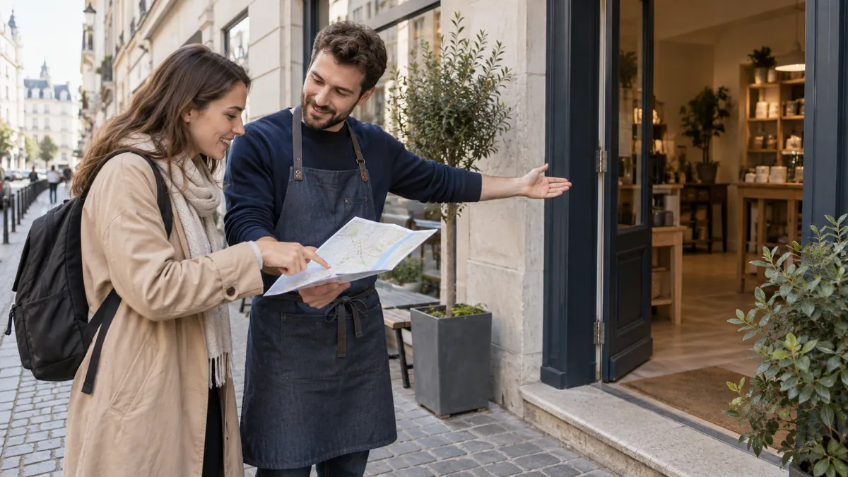
Describe several approaches using verified landmarks: walking routes, transit stops, parking or drop-off where available. Fictional example: the street-facing gate is for deliveries, while appointments use the courtyard; explain these purposes and identify the right entrance. For construction work, state the affected period and have the alternative route confirmed.
An interactive map can help, but keep essential directions in text and provide a route link. An image map needs an alternative that supports the same decisions.
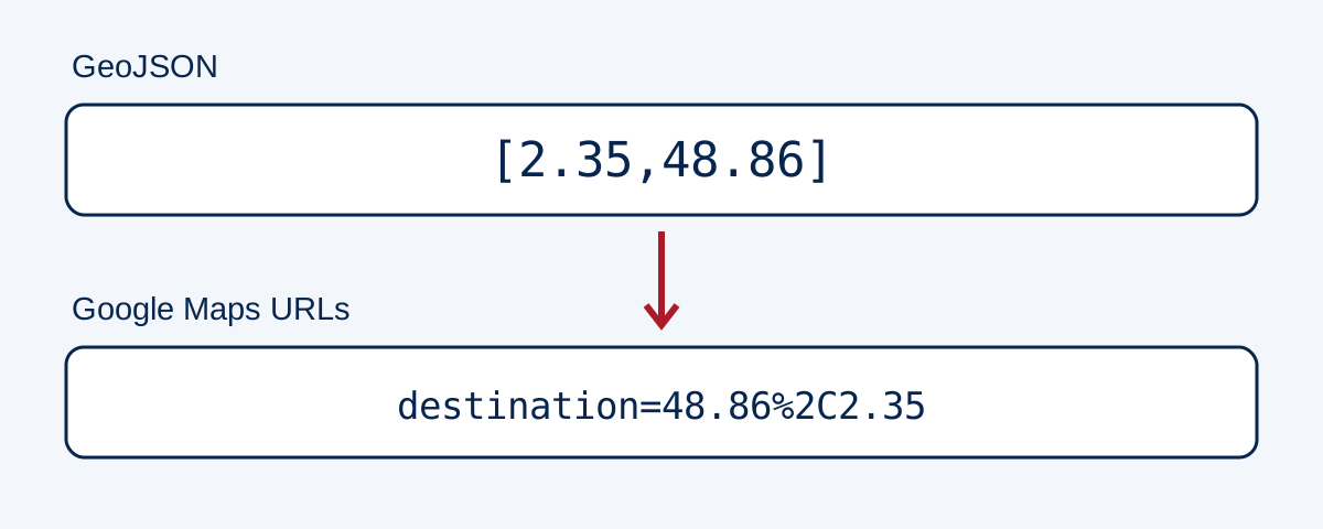
A directions link and a geographic file may expect the same numbers in different orders. Fictional exercise, with no business address: latitude 48.86 and longitude 2.35 produce the GeoJSON position [2.35,48.86], while a Google Maps URL destination uses latitude then longitude, or destination=48.86%2C2.35 after encoding. Maps URLs syntax also requires api=1. Do not swap values when copying a table into a link.
Keep named fields in the source and check the map result, then verify the right entrance on site. A building centre, postal address and appointment entrance can indicate different points. A fixed-destination link can be prepared without the website requesting the visitor’s position; the mapping service then handles its own journey. Keep address, landmarks and text directions usable when the map or device location is unavailable.
- Walking and transport explained.
- Parking described without unverified promises.
- Route understandable without an interactive map.
Scroll the table horizontally to read every column. With a keyboard, focus the table area and use the arrow keys.
| Representation | Meaning or test value | Check to retain |
|---|---|---|
| Address and entrance name | Text validated by the location | Recognise the right entrance, not only the building |
| Named fields | latitude=48.86 ; longitude=2.35 | Preserve each number’s meaning |
| GeoJSON position | [2.35,48.86] | Longitude then latitude under RFC 7946 |
| Google Maps destination | destination=48.86%2C2.35 ; api=1 | Latitude then longitude; encoded parameters |
State visiting conditions
Publish reception hours, closure days and any appointment requirement. Describe an accessible entrance or a contact for arranging arrival if that matches the actual place. Avoid vague wording that hides a step or hard-to-find door.
Test the page on a phone while approaching the location. Contact details, hours and directions should remain readable without complicated zoom or required downloads.
- Hours and appointments accurate.
- Access conditions described honestly.
- Phone reading tested on the journey.
Review after every change
Assign access updates to someone familiar with the venue. Fictional example: an entrance changes during construction; correct the page, appointment confirmations, external listings and translations that mention it. Then try approaching from outside using a phone. An unchanged postal address does not establish that arrival instructions remain usable.
After updating, open the page as a first-time visitor and try the route. A correct address in the footer does not offset outdated entrance instructions.
- Update owner named.
- External copies checked.
- Route retested after change.
Reference documents
- W3C WAI : Page Structure and Understandable Content
- Google Maps : Maps URLs · Source consulted
- IETF : GeoJSON RFC 7946 · Source consulted
- W3C WAI : Complex images · Source consulted
Content updated on